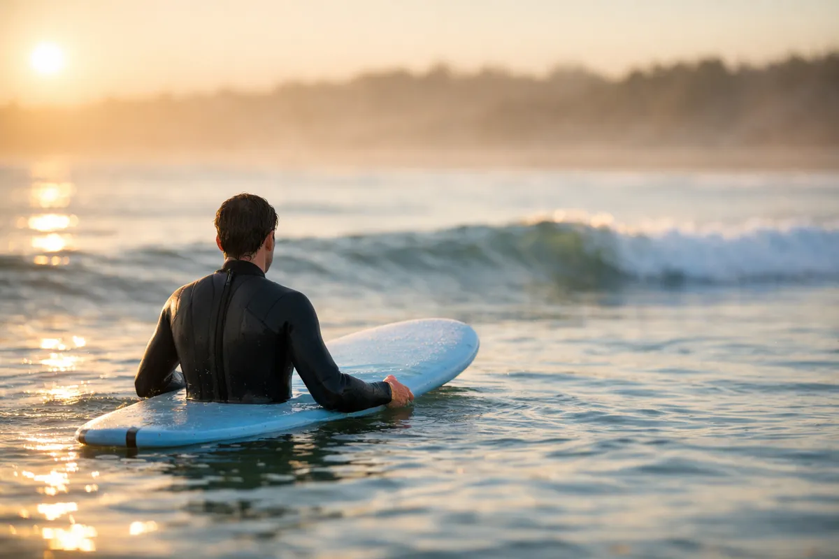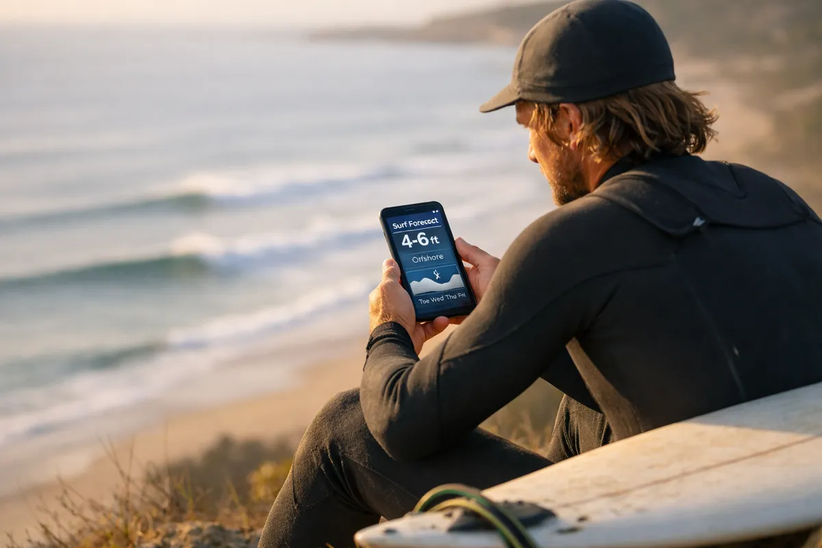
A surf forecast tells you what the ocean is going to do before you get there. Experienced surfers check the forecast every morning like most people check the weather — it determines when, where, and whether to paddle out.
As a beginner, you don't need to become a meteorologist. You need to understand five numbers and what they mean for your session. Here's the cheat sheet.
The five things that matter
1. Swell height
Measured in feet or meters. This is the height of the open-ocean swell before it reaches the beach.
- What beginners want: 1–3 ft (0.3–1 m). This produces knee-to-waist-high waves at most beach breaks — perfect for learning.
- Manageable: 3–5 ft (1–1.5 m). Waist-to-chest-high. Fine for confident beginners on gentle beach breaks. Might be too much at steeper spots.
- Avoid: 5 ft+ (1.5 m+). Overhead surf. Too powerful for most beginners.
Important: swell height is measured in open ocean. The actual wave face at the beach depends on the seafloor, wind, and tide. A 3 ft swell can produce 2 ft faces at a gentle beach break or 5 ft faces at a steep reef. Context matters.
2. Swell period
Measured in seconds. The time between consecutive waves. This is the most underappreciated number in a surf forecast.
- Short period (5–9 seconds): Wind swell. Waves arrive quickly, close together, with less power. Choppier, less organized. Common in the Atlantic and local-wind swells.
- Medium period (10–13 seconds): Ground swell from a distant storm. More organized, more power, cleaner wave faces. This is what most good surf days look like.
- Long period (14+ seconds): Deep groundswell from far away. Powerful, well-organized, and waves that "stand up" more. Can turn a 3 ft swell into overhead waves at some spots.
For beginners: shorter period is easier. A 3 ft swell at 8 seconds is much gentler than a 3 ft swell at 14 seconds. The long-period swell carries more energy even though the height looks the same on paper.
3. Wind direction
Wind is the most important factor in wave quality — more than swell height or period.
- Offshore wind: Blows from land to sea. Holds up the wave face, makes it clean and organized. This is what every surfer hopes for. Forecast shows wind blowing from the shore direction (e.g., east wind at a west-facing beach).
- Onshore wind: Blows from sea to land. Pushes waves down, makes them crumbly, choppy, and disorganized. Not ideal, but beginner beaches are still surfable in light onshore.
- Cross-shore wind: Blows parallel to the beach. Better than onshore, worse than offshore. Creates some texture on the wave face.
- Glassy (no wind): The gold standard. Usually early morning or late afternoon. The ocean surface is smooth, waves are clean, and conditions are at their best.
For beginners: light offshore or glassy is best. Strong offshore (15+ knots) can actually make it hard to paddle out — the wind pushes you back. Light onshore (under 10 knots) is fine for learning; the whitewater works regardless.
4. Wind speed
- Under 10 knots: Light. Conditions are usually good regardless of direction.
- 10–15 knots: Moderate. Offshore is still great. Onshore starts to mess things up.
- 15–25 knots: Strong. Offshore holds waves up but makes paddling hard. Onshore makes conditions poor.
- 25+ knots: Very strong. Usually not fun for anyone.
5. Tide
The water level changes throughout the day as tides move in and out. This affects wave quality more than most beginners realize.
- Low tide: Shallower water. Waves break harder and faster over sandbars. Can create more powerful, hollow waves.
- High tide: Deeper water. Waves can lose their shape and become fat or mushy. Some beach breaks stop working entirely at high tide.
- Mid tide: Often the sweet spot. Waves have shape but aren't too powerful.
For beginners: incoming mid tide is usually the best window. The water is rising (bringing fresh sand movement and consistent shape), the depth is moderate, and the waves are organized. Check the tide chart for your beach — it changes daily.
Read our full guide on tides and how they affect surfing.
How to read a forecast — the practical version
Most surf forecast apps (Surfline, Magic Seaweed, Windguru) show a multi-day chart with all five variables. Here's how to scan it:
- Find the swell height row. Look for days with 1–3 ft swell. Cross off anything over 5 ft.
- Check the period. Under 12 seconds? Good. Over 14 seconds with 3+ ft swell? Might be too much.
- Check wind direction and speed. Offshore or glassy under 10 knots? Best conditions. Light onshore? Still workable.
- Check the tide chart. Find the mid-tide window — usually 2–3 hours around the middle of the tide cycle.
- Pick your session time. The intersection of good swell + favorable wind + mid tide = your window.
The beginner cheat sheet
| Variable | Ideal for beginners | Avoid |
|---|---|---|
| Swell height | 1–3 ft (0.3–1 m) | 5+ ft |
| Swell period | 7–11 seconds | 14+ seconds with big swell |
| Wind | Offshore or glassy, under 10 kts | Onshore 15+ kts |
| Tide | Incoming mid tide | Very low (too hollow) or very high (no shape) |
Morning vs afternoon
Mornings are almost always better than afternoons. Why?
- Wind is lighter. Thermal winds (onshore sea breezes) build through the day as the land heats up. Early morning is usually glassy or lightly offshore.
- Fewer people. The crowd builds through the morning. First light is the quietest.
- Better light. Low-angle sun makes it easier to see the wave face and read incoming sets.
If the forecast shows light morning wind switching to onshore by noon, plan your session for 7–10 AM. By afternoon the conditions will be significantly worse.
When the forecast says "flat"
Flat days happen. No swell, no waves. Use the time to:
- Rest (your body needs it)
- Explore the area
- Watch surf footage and study technique
- Do yoga or stretching for flexibility
- Clean your board, re-wax, check your gear
Don't paddle out in flat conditions hoping for the best. If the forecast says flat, believe it.
Apps and tools
The major surf forecast platforms:
- Surfline — the industry standard. Detailed reports, cam footage, premium tier for HD cams.
- Magic Seaweed (MSW) — good charts, free tier is useful, now part of Surfline.
- Windguru — excellent wind data, popular in Europe. Interface is technical but powerful.
- Windy.com — beautiful wind and swell visualization maps. Good for seeing the big picture.
On Surfyx, the spot map shows live conditions alongside community session reports — so you can see what the forecast predicted and what surfers actually experienced.